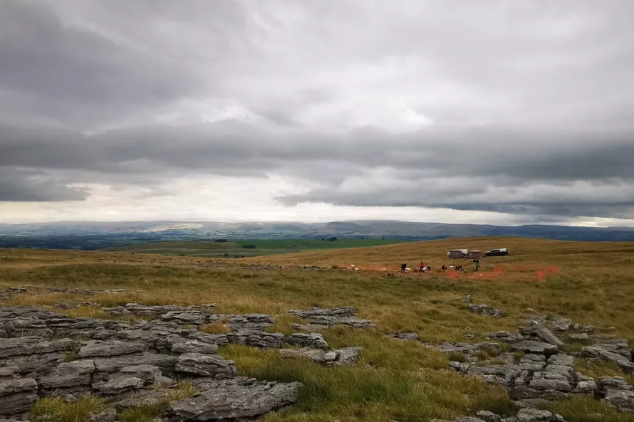
What a day!!!! Although much of the day was rain free, when the heavens did decide to open they did not hold back. This was my first day on site and I have to say I was very impressed with how much progress has been made already. I headed up to site slightly early to pop the drone in the air before the volunteers began to arrive. I am processing the data as we speak and will hopefully be able to post it on tomorrows blog for you all to see.
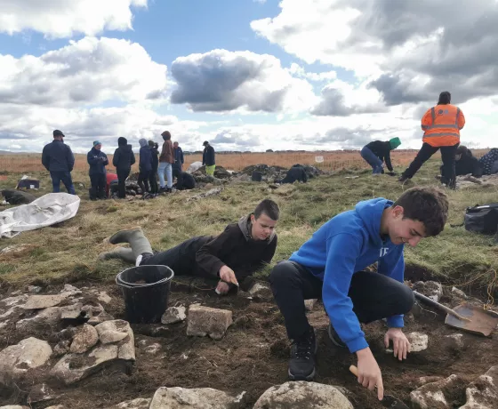
When everyone had arrived Andy took the volunteers who were here for their first day on a tour of the site and a run down on what had been done so far. Once this was done Liz and Linda began the hand drawn planning of Trench A, Perry and Steve did the same in Trench B whilst the rest of us jumped onto Trench C.

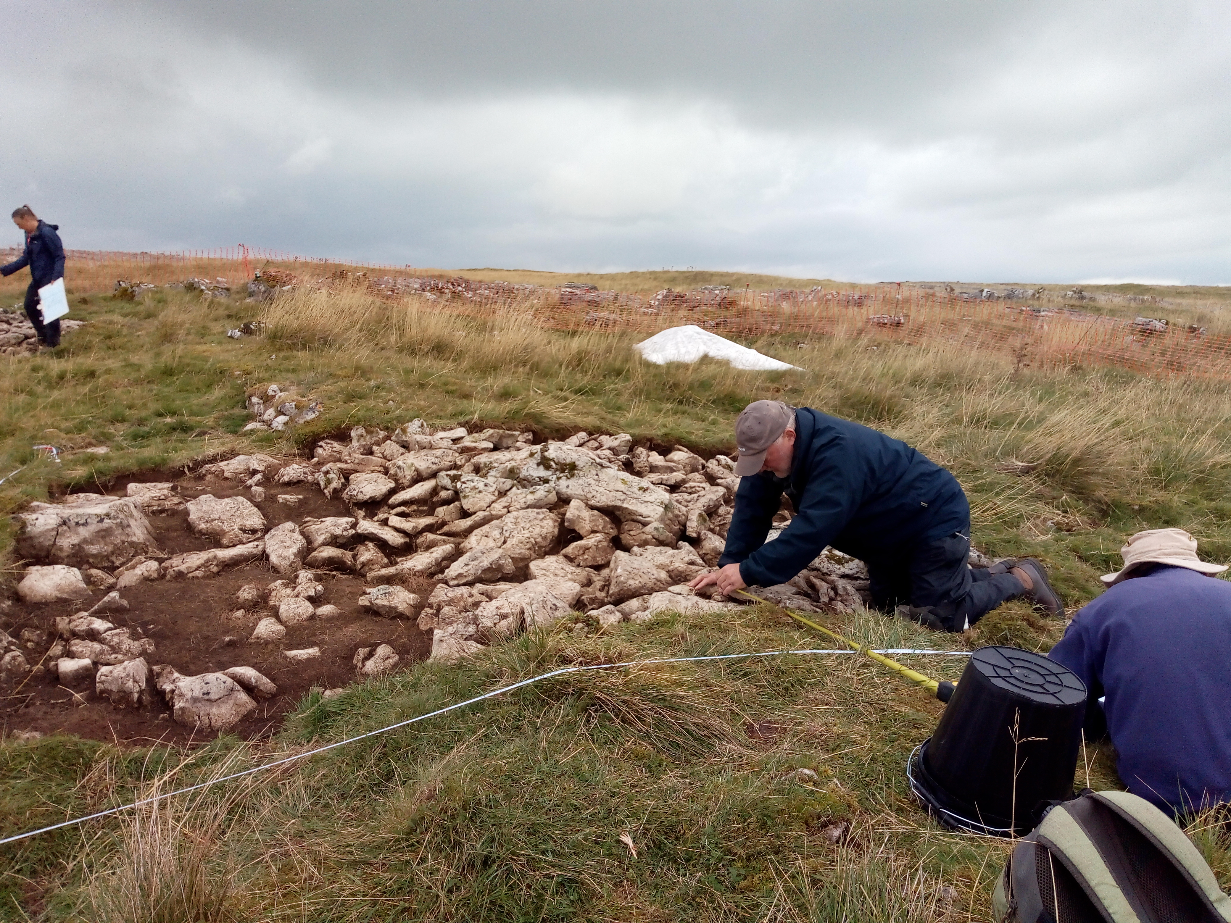
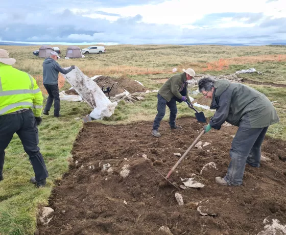
Yesterday it had been decided to extend Trench C and also put a slot through the deposits which are surviving on the interior of the structure. After the extended area had been deturfed it was then time for the formation of the trowling line to clean up this area ready for photogrammetry. It was great to see that possible fragments of flint were appearing within the upper deposit which were bagged in situ, given a small finds number and then surveyed in by Andy.

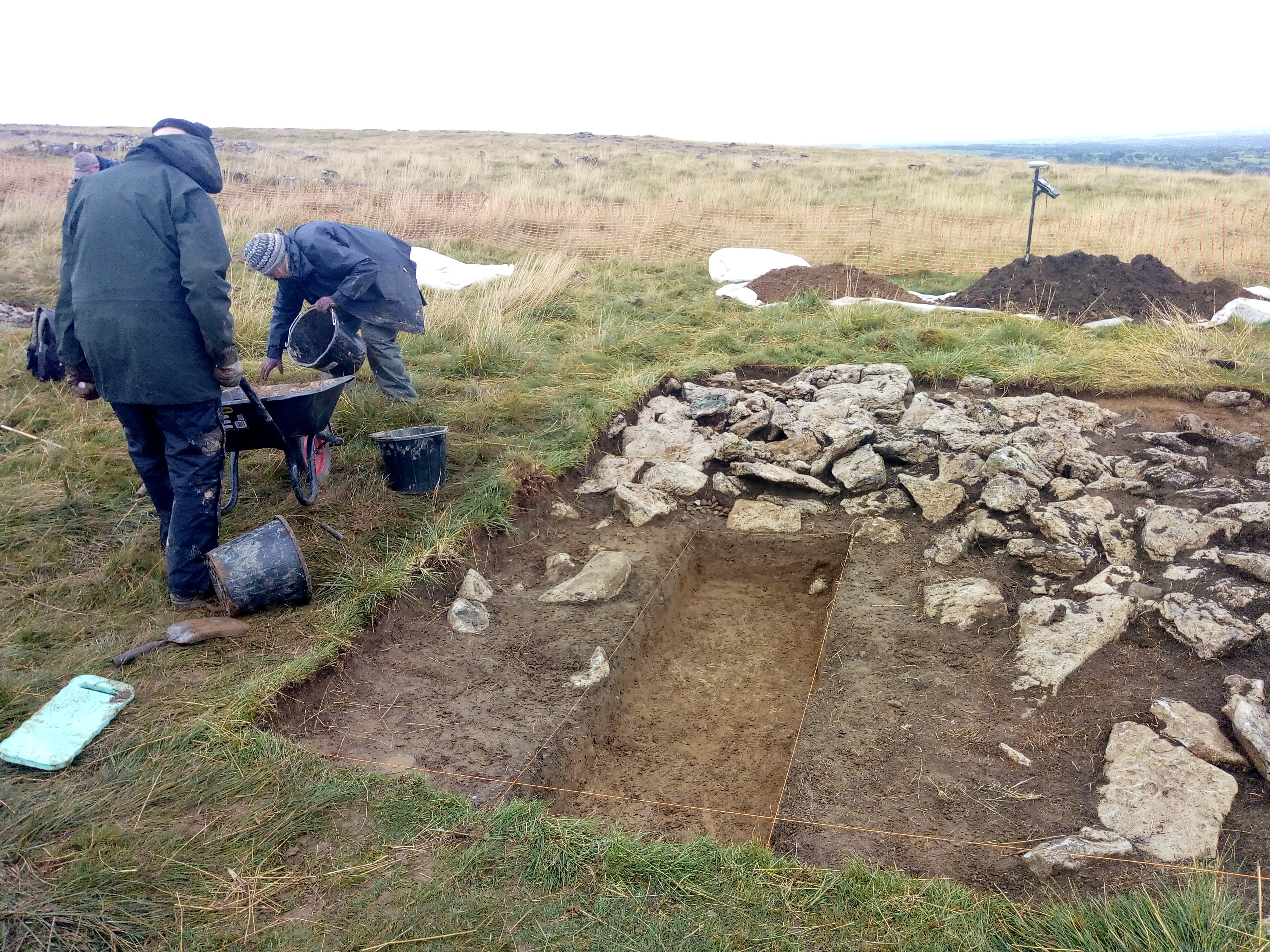
Unity, Simon and myself tackled the task of removing the deposit from the slot within Trench C to see what secrets we could reveal. We had just started to reveal a lower deposit which was visible as an orangey brown colour when......The heavens opened!!!

Thank god for the tents as they were very much needed. All tools were downed and an early lunch was agreed to wait out the weather. It seemed bleak for a while but thankfully the weather took a turn for the better.
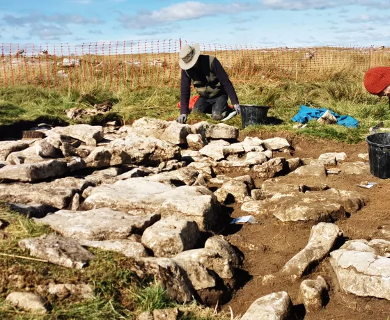
Once back outside we removed the standing water from the slot and began the process of cleaning ready for recording. Simon then took a photographic record and Unity filled in the context sheet for the remove deposit. The different colours in deposits are quite visible in the below photograph.
Once all cleaning and planning was finished it was time to carry out a photogrammic survey of all 3 trenches. This involved the methodical process of capturing digital photography by moving periodically around the perimeter of the trenches, one at a time, capturing images which can then be knit together in a special software to create a 3D plan. This then allows us to export georeferenced and scaled orthophotos. This technique is generally done using both a polecam, which allows us to obtain a more overhead view, and also handheld for lower detail.

Great work today everyone and I look forward to seeing what tomorrow.
Other posts in this collection
Read our latest posts about the Little Asby community excavation.

