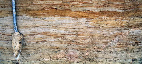
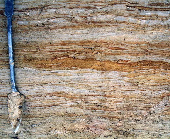
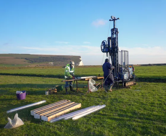
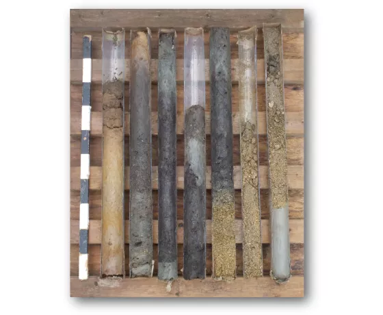
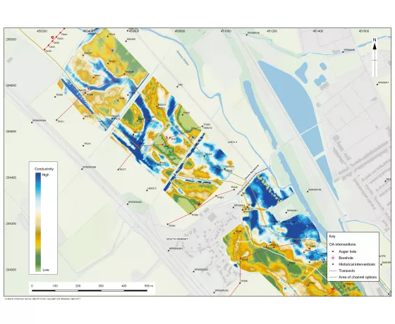
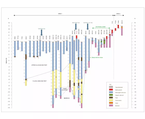
The geoarchaeological study of soils and sediments, burial environments, and landscape evolution, often through deposit modelling, is increasingly a requirement during the planning or mitigation stages of developments
Oxford Archaeology is one of only a few archaeological practices in the country to provide a comprehensive range of in-house geoarchaeological services. Established in 2003, our successful and highly respected team, specialising in predictive deposit modelling and the design and implementation of geoarchaeological investigations, has worked on some of the largest infrastructure projects across the UK, including the Hinkley C Connection in Somerset, High speed 1, Crossrail, Thameslink and the Lower Thames Crossing.
We have extensive regional expertise across Fenland, the NW Wetlands and Irish Sea littoral (A585 Windy Harbour to Skippool road scheme), the Thames Valley (Oxford Flood alleviation Scheme) and along the south coast. We have published several integrated and synthetic monographs, alongside journal articles.
The services we provide include:
- Geoarchaeological desk-based assessments
- 3D deposit modelling
- Geomorphological site description
- GIS analysis and LiDAR interpretation
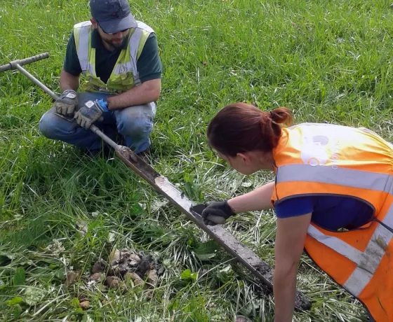
- Borehole and auger surveys with test-pitting
- Watching briefs and monitoring of geotechnical works
- On-site sampling and sediment recording
- Labwork (micromorphology, soil chemistry, organic content, magnetic susceptibility, particle size, clast analysis)
- Post-excavation analysis, synthesis and publication

