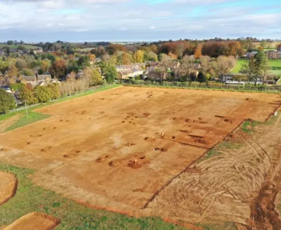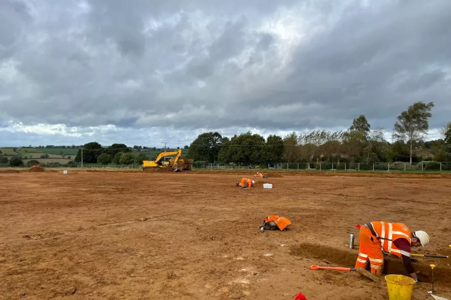
Despite a rather wet start to the week, the team continue to make good progress on site. The site strip is now two thirds complete but we still have the main enclosure to expose.
Along the northern side of the site we have exposed several small enclosure which extend beyond the development area, under the existing properties on the west side of Hook Norton Road. There are at least three enclosures which are roughly square in plan and are defined by ditches. The ditch that defines the southern limit of these enclosures was identified by Cotswold Archaeology in 2019 during the trial trench evaluation (Trench 13). However, as we have opened up a wider area we can appreciate that this southern limit of the enclosure appears to be defined by a pit alignment rather than a continuous ditch as suggested by the evaluation.
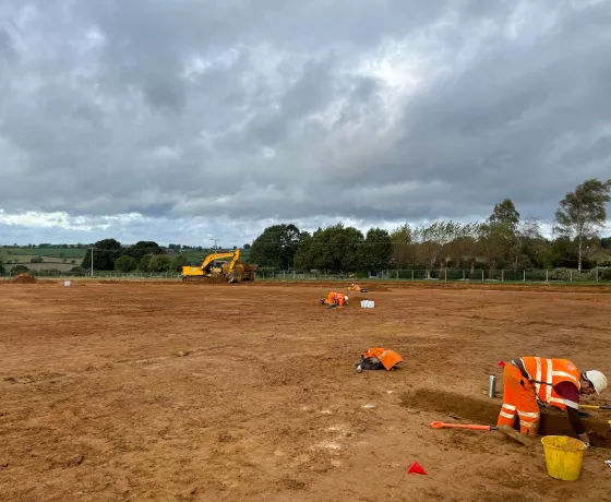
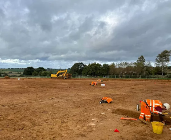
Excavating the pit alignment that forms the south boundary of the enclosure.
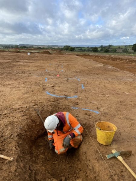
106 sherds of pottery were recovered from the features exposed during evaluation, and from this total 99 sherds (93% of the assemblage) were recovered from the southern limit of the enclosure. The sherds were dated to the Iron Age and it is largely based on this material that the archaeological remains across the site have been broadly dated to the Iron Age. As we are opening up a much greater area we will not only be able to get a better understanding of the organisation of the site and the enclosures, it provides us a greater opportunity to recover artefactual evidence which is crucial to establishing the date of the remains and our understanding of the activities that were occurring within the site. We have only excavated a few of the features exposed so far but the quantity of artefacts is relatively low.
We also look at the soils contained within the features, there are referred to as fills. So far we are seeing fairly sterile fills and they appear to have been accumulated slowly over time, most likely through weathering, rather than the deliberate dumping of material such as debris from fires or cooking waste which you might associated with settlement activity.
This combination of sterile fills and low levels of artefactual remains suggest we are more likely exposing enclosure used for animal management rather than settlement. However, it is still early in our excavation programme and we are yet to expose the main enclosure.
Stock enclosure?
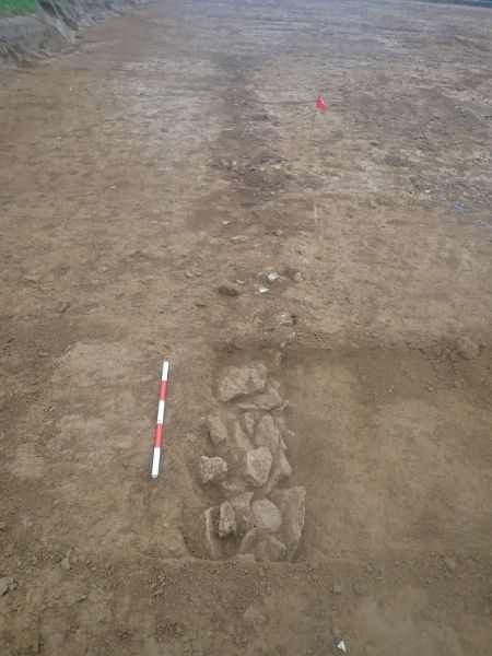
Along the eastern limit of our excavation area, adjacent to Hook Norton Road, we have found a series of small enclosures defined by the remains of stone walls. These are parallel to the road and continue beyond on our site so we suspect they front onto the road. From these features we have recovered clay tobacco pipe, pottery of suspected 18-19th century date and animal bones. We are interpreting these as the remains of stock enclosures i.e. sheep pens or similar. Sibford Ferris itself is recorded in the Domesday Survey of 1086 but the earliest cartographic evidence we have is the Davis Map of Oxfordshire from 1797. The map depicts Sibford Ferris and Hook Norton Road but at this time the village is confined to the north and east of the road and our site lies within a larger agrictural fields. There is no depiction of the stock enclosure exposed by our works on the Davis or later maps.
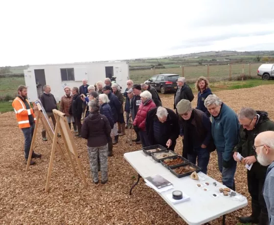
Other posts in this collection
Read our latest posts about the archaeological investigations at Sibford Ferris.