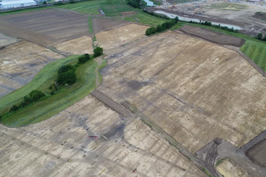
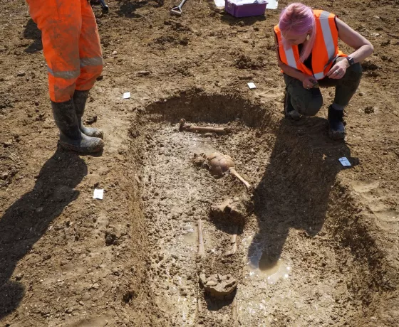
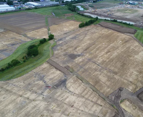
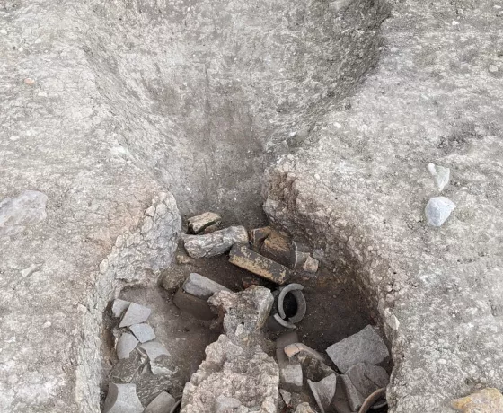
The shovels and barrows have been collected, our welfare cabins driven away. It’s like we were never there (except for all the holes in the ground). Excavations have come to an end for the winter at Wintringham, and some of the team will be heading into our office to start the mass upload of data and begin building a preliminary analysis of our findings so far on site 3.
All of the pot and bone will join the queue to be washed and quantified. Some of the nicer artefacts, such as metal finds and those with the potential for key diagnostic characteristics, will start to be examined and sent off to specialists for conservation and evaluation, all helping to build a picture of how the settlement shifted and developed over time. This is a huge undertaking on a large site like Wintringham, and this post excavation part of the project will keep our team busy until March, when we come back to excavate the final area currently hidden underneath the trees.
Until then, lets take a look at a few interesting initial findings we have discovered from site 3…
The site’s inhabitants weren’t put off by the boggy clayland soil.
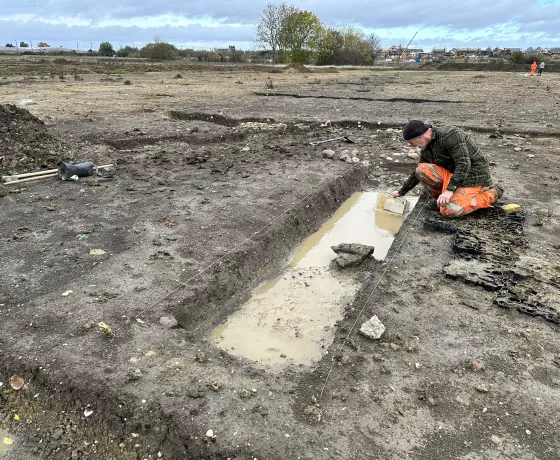
It seemed that the sites inhabitants weren’t perturbed by the wetter conditions of the claylands during the colder months that the team have been experiencing, choosing to consolidate areas of wetter ground with stones for ease of passage and building. This was apparent in several ditches across the site and can be seen in an early Roman circular structure, showing the remains of a stone foundation. There was also an interesting area to the north of the site where a natural geographical dip had formed, which had a particularly large amount of stones mixed a layer of dark organic soil. Perhaps a lot of water and organic material/waste congregated in this area? Or maybe the stones were put down to protect animals from the quagmire of this area of particularly sodden ground as they moved around the site?
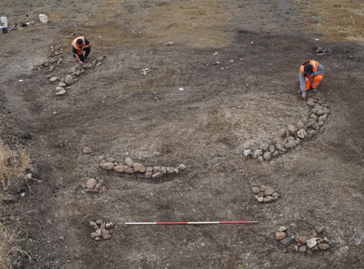
The team carefully expose the stone foundations of our Roman circular structure.
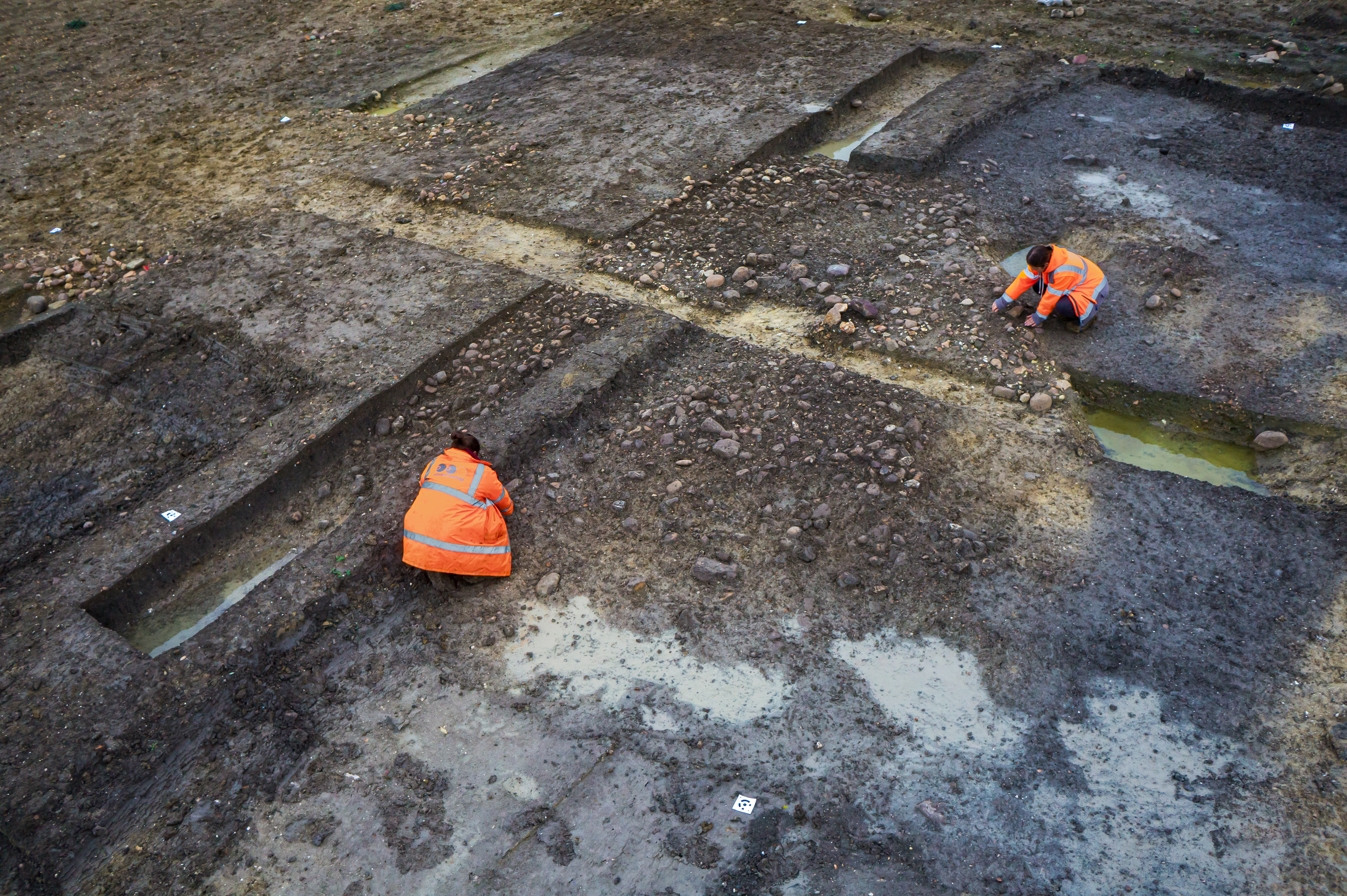
Site supervisor Emily and Assistant Supervisor Ellie clean an area of deposited stones.
Continuous activity and persistent trackways
The archaeology so far suggests there was continuous activity from the Bronze Age at Wintringham, with sustained settlement from the Middle Iron Age into the Roman period. This is similar in character to neighbouring Loves Farm, and our post excavation work will help determine whether our site predates Loves Farm or whether the sites were established at a similar time. It seems that the trackways that run alongside and through our settlement appear to run through Loves Farm and beyond.
So what came first, the trackways or the settlement? We know that Cambridgeshire’s past inhabitants made use of the landscape, creating routeways that follow ridges and natural topographical curves, likely acting as visible markers for people to navigate and move around the landscape. That is certainly the case at Wintringham, where archaeological activity mainly resides in the ridges between brook valleys. Was the settlement the result of people making use of the trackway, or did the trackway develop from the desire to build routes between already established settlements?

Blue highlighted areas showing the trackways that are a key feature of site 3.
Why so many quern stones?
The unusually large amount of quern stone fragments found on site – up to 70 fragments - suggests there was an unusually large amount of crop processing on site for its size. This was more than double the amount found on Loves farm, which is a larger settlement. This has us puzzled. There is no structural evidence that is associated with crop processing - Where are the corn dryers? Where is the charred grain within our soil samples? Crop processing is clearly happening on a larger scale, evidenced by the presence of larger mill stones which use animals for traction, but as of yet, we have no primary evidence to contextualise the quern stones.
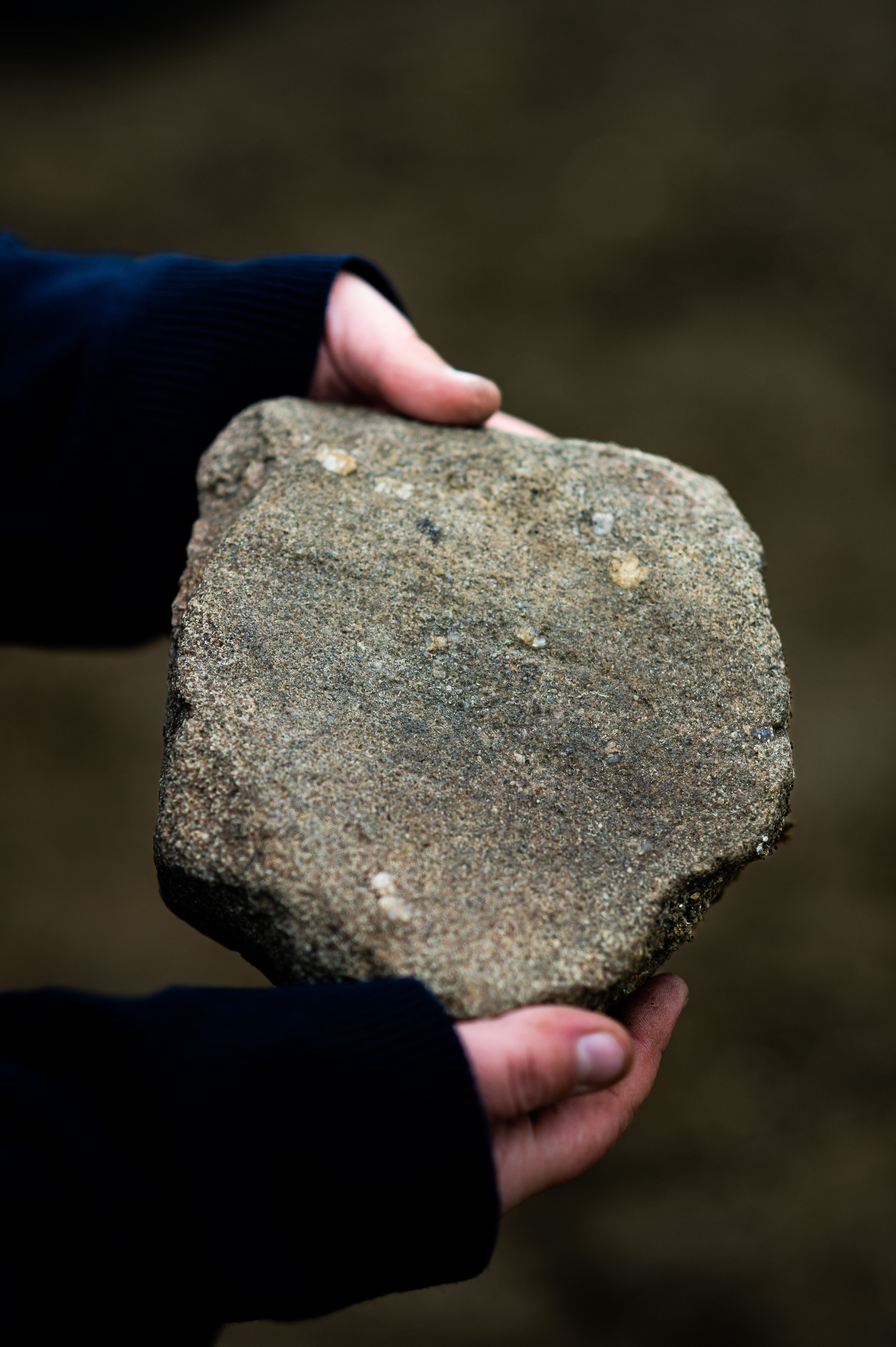
A close up photograph showing the grinding surface of a quern stone made of millstone grit.
The features on site 3 all seem to run into the area which we will be returning to next spring, suggesting that this area could be dense with features. However, whilst it has the potential for being archaeologically rich, what we find will be dependent on the preservation of the archaeology left behind that hasn’t been affected by the trees and animal disturbance.
Will we find evidence of crop processing? Will we find the source of the Roman wall plaster and building material? Will we find there is little archaeology left? Watch this space…
Thanks to Emily Wright for sharing her knowledge of the site for this post.
Other posts in this collection
Read our latest posts about the archaeological investigations at Wintringham.

