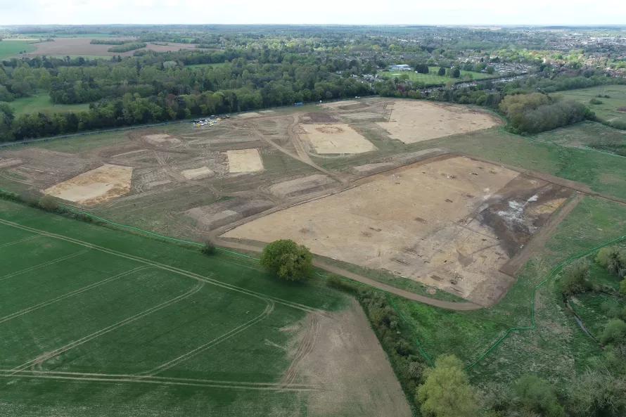
Thus far, we’ve done a bit of showing off with the archaeological remains we’re finding at Bury. But it’s not all barrows and SFBs out here, we do have quite a few of your more everyday types of archaeological feature. So this week, we’re going to go for a bit of a tour around Area 3 to showcase the variety of archaeology we have. Area 3 is the largest of the areas we’re investigating, measuring some 2.7 hectares in size. It’s located on the eastern side of the development area, at the bottom of the hill adjacent to the River Lark.
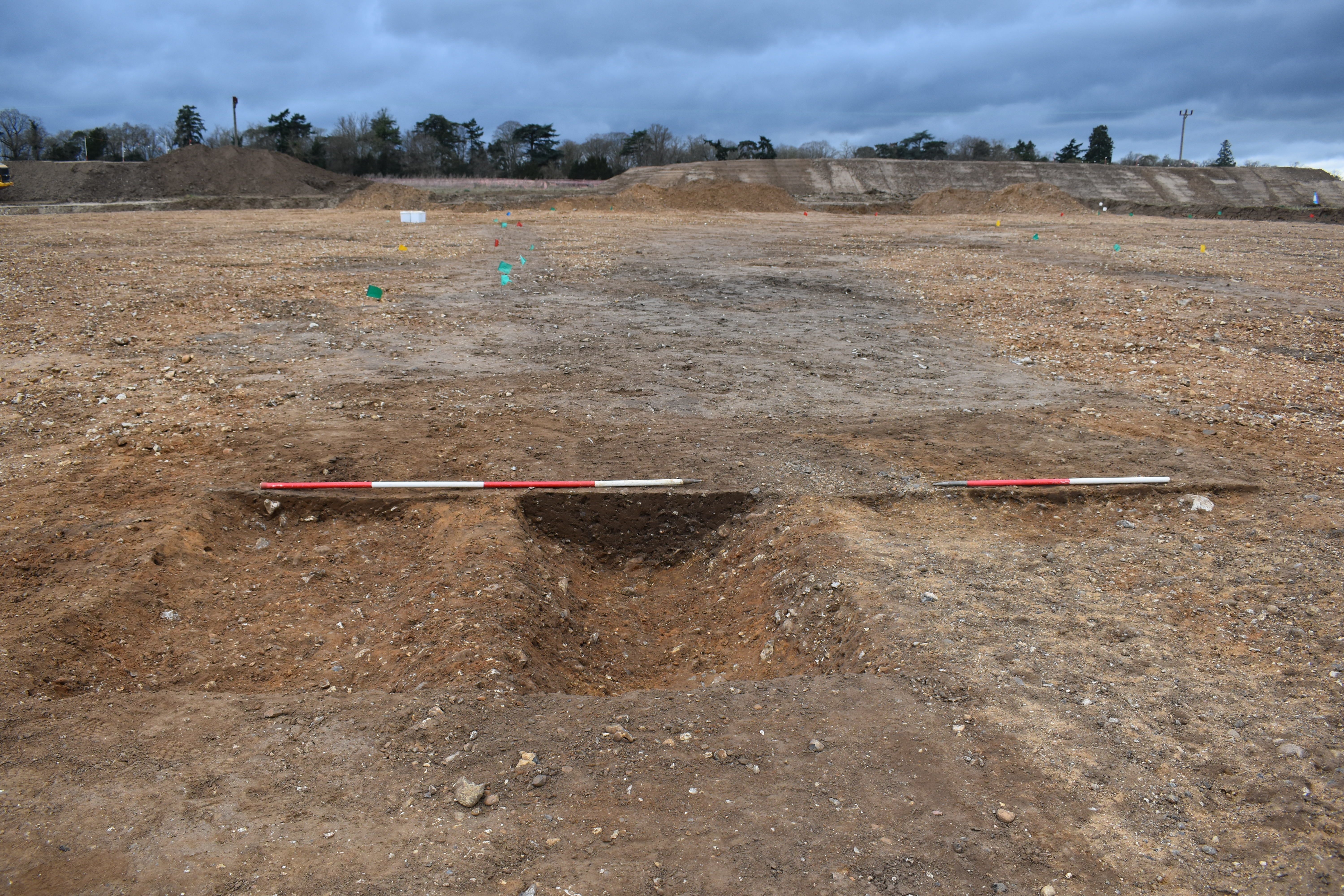
View across ditch sections.
In commercial archaeology across the East of England, ditches are our bread and butter. But somewhat unusually, there aren’t that many ditches on this site. But the ones we do have are mostly confined to Area 3. When we find archaeology on a site, one of our aims is to try and work out what the function of each feature was. With ditches, they generally fall into two categories: boundaries or enclosures. And in Area 3 we look to have both of these things. We have two field boundary ditches which correlate with ones shown on the 1888 First Edition Ordnance Survey map, so this tells us that the field we’re working in used to be made up of several smaller plots but the ditches have subsequently been filled in to make one large field. We also have a series of enclosure ditches. These are on a different orientation to the field boundary ditches and based on the finds we’ve collected from them, are earlier in date.
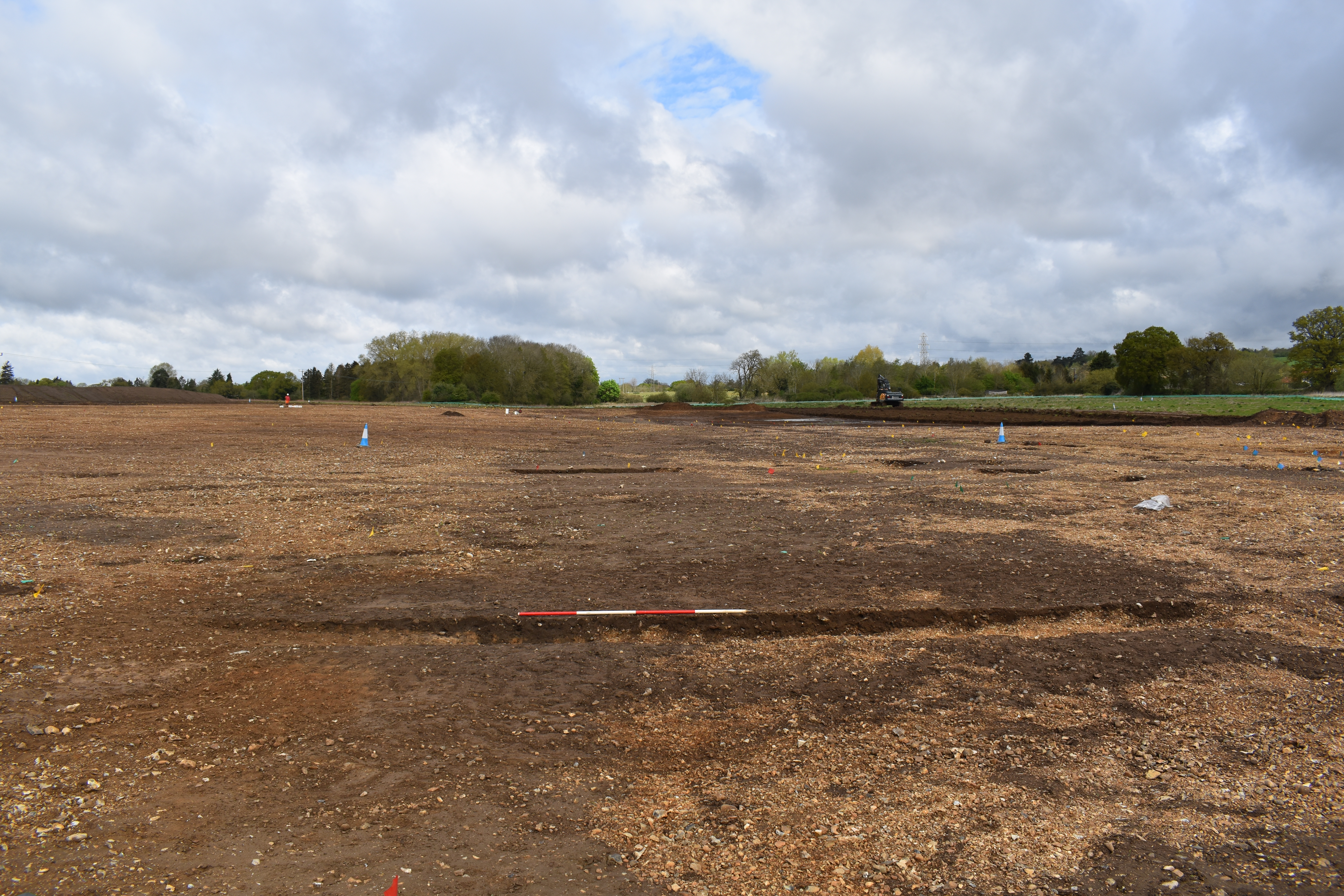
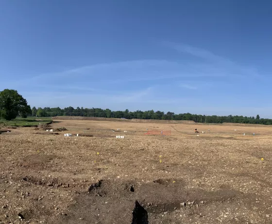
View of the fake trackway.
Archaeology can keep you guessing for quite a while when it comes to trying to work out what something is and we’ve had this situation across the southern portion of Area 3, where we’ve got this large spread/layer of soil which extends for about 80m broadly in a straight line. The fill is very sterile, so we don’t have a lot to go on to help with the interpretation. For ages we were trying to convince ourselves that this was some sort of trackway/footpath that was perhaps contemporary with the field boundaries shown on the First Edition OS map. But something about this explanation just wasn’t quite right. So finally, after a lot of head scratching and discussions amongst ourselves, we’ve decided that it actually isn’t anything! Topographically, this strange spread is located at the bottom of the hill so it seems most probable this this is actually just a natural accumulation of soil (known as colluvium), rather than anything manmade.
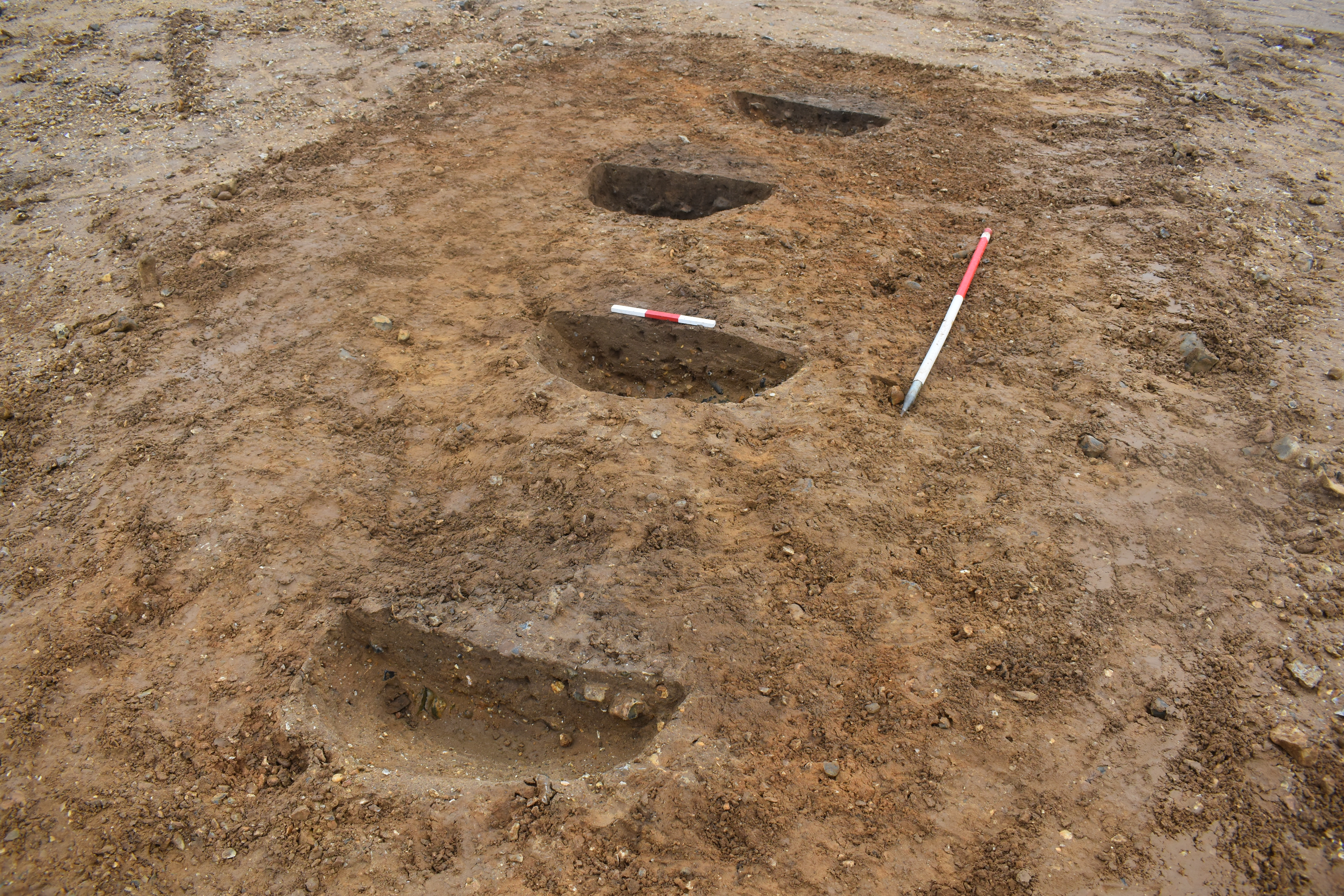
Posthole alignment.
Another feature type which we have lots of examples of in Area 3 are postholes. Postholes tell us that there would have been a wooden post-built structure in that location once upon a time. When you find a cluster of postholes on site, it’s a bit like dot to dot in that you need to try and work out what shape they’re making. This is sometimes fairly straightforward, if you have a straight line of them for example, but sometimes they can form an amorphous blob with no clear shape. In these situations, what’s probably happened is that we’re looking at the remains of more than one structure – wood degrades so it’s very likely that posts would have had to be replaced or that the building was entirely knocked down and a new one erected in the same spot. The shape of a building also varies depending on how old it is, for example, in the Bronze Age period they like their buildings to be circular, but in the Anglo-Saxon period they like their buildings to be rectangular. Below is a plan of a load of postholes (not from this site I’m afraid), how many shapes can you make?
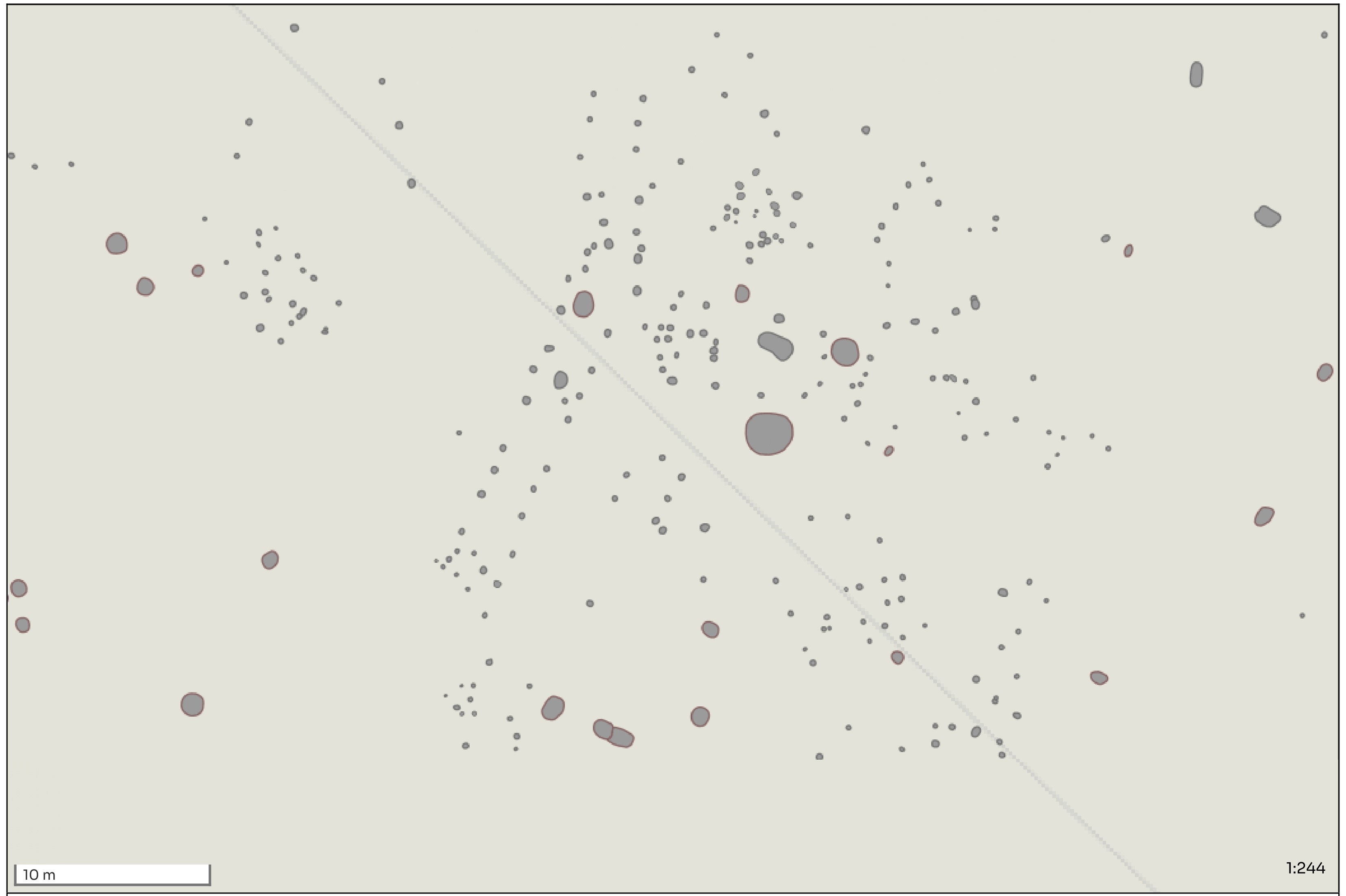
Digitised map showing the locations of various postholes and features.
Other posts in this collection
Read our latest posts about the investigations at Abbot's Vale.