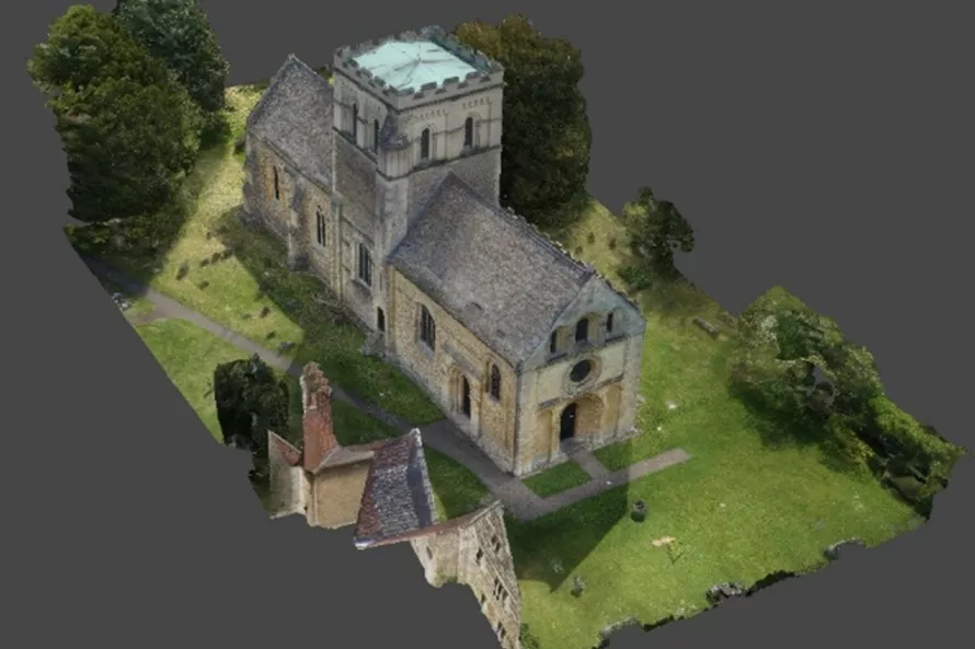
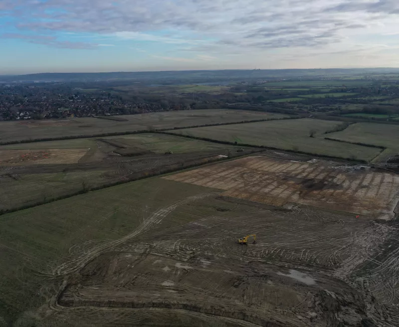
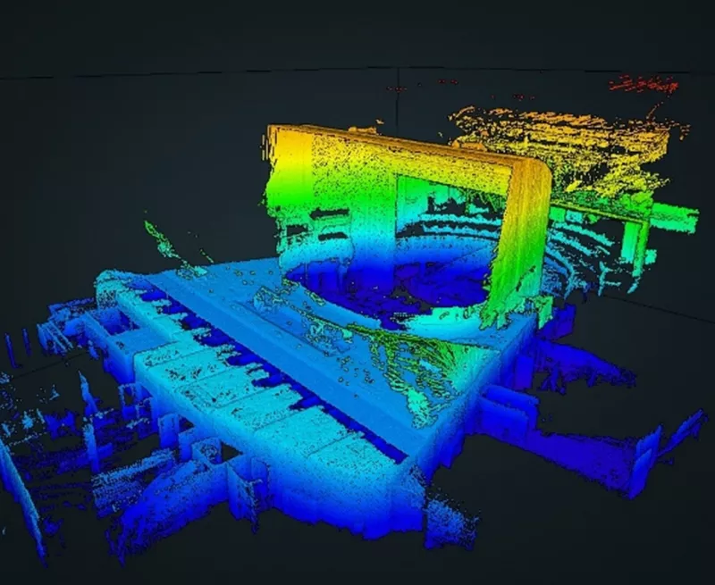
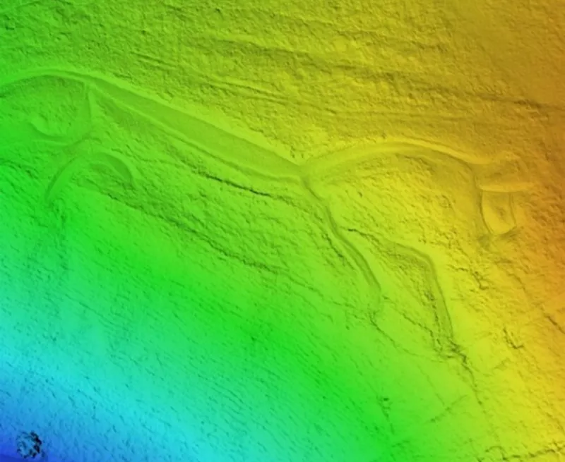
A typical week for most OA Geometricians will usually involve a mixture of site and office work. The start of a week may involve setting out excavation areas or evaluation trenches. Other field work could be anything from site data capture using survey equipment, photogrammetry using a pole-mounted camera or UAV (Unmanned Aerial Vehicle or Drone), metric building, earthwork or landscape survey. Data in the field is captured using a variety of techniques that may include laser-scanning, photogrammetry, GNSS (Global Network Satellite Systems, more commonly known by the American version, GPS), TST (Total Station Theodolite) or more traditional hand planning with a tape, pencil and paper that can be digitised later and added to the digital resource.
Office work may involve processing the captured data to bring it into a GIS, creating plans for use on site and figures for a report, or more complex spatial analysis. At Oxford Archaeology we have developed our own ‘webmap’ system that allows data to be processed and uploaded quickly so it is available to people digging on site to view on a mobile device such as a tablet or phone as soon as possible after it has been planned. Our webmaps are also a powerful tool across the company, as they allow staff from all departments to view and access the spatial data for a site or project as it is being undertaken, right through to the analysed and phased data used in publications and post-excavation assessments.
Our site survey and processing tasks can often be some of the most interesting to undertake, as we get to see the range of features and elements being excavated and recorded across sites. They allow us a privileged view of being able to see the interconnected nature and relationships between all the archaeology on a site and how it relates not only to itself but also the surrounding landscape, particularly on sites with multiple areas. Our current work on the A417 and Sizewell joint venture projects, alongside previous sites such as Newark, Windy Harbour, Innsworth, Oxford Westgate Centre and A21 scheme, are great examples of both rural and urban sites where we have been able to see and record a rich variety of archaeological features across multiple areas as they are uncovered and investigated.


