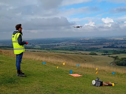
The more recent advent of drones combined with photogrammetry to produce detailed survey has revolutionised the discipline and allowed OA to become experts in what is now a very useful and indispensable procedure for archaeologists. The concern about the changing appearance of the Horse led to the idea of combining the use of a drone survey with the digital comparison of the earlier measured surveys (of 1926, 1937 and 1989). This would hopefully give a clear and measurable indication of how much the Horse was shrinking.
After an initial aborted attempt in 2020, thanks to COVID-19, we were able to get in the air over the Horse (with the required permission from the National Trust) in 2022. Thanks to the technical wizardry of OA’s geomatics department (Matt Bradley and Ben Brown) not only was the Horse surveyed and overlaid with the earlier surveys, but we were given a bonus of videos and images.
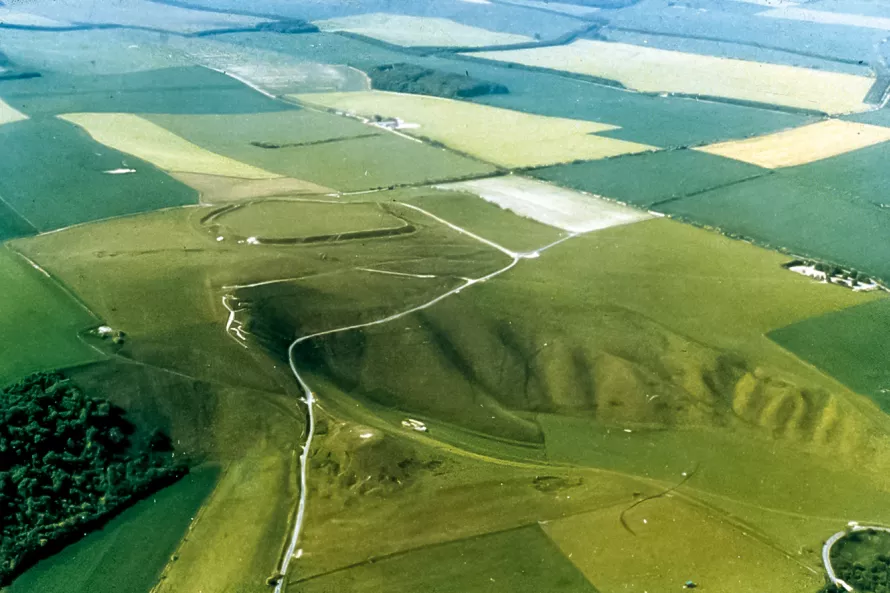
Our first concern was to determine how accurate the earlier surveys were, mindful of the hazards of terrestrial based hand-measurement, and the lack of any fixed points. We need not have worried. While there was remarkable internal consistency between the surveys, clear chronological differences were evident. We had also studied the archive of old photos, both terrestrial and aerial. These, in a less quantifiable way, told the same story. The aerial photographic coverage was the greatest help as this coverage dates back almost a hundred years with early RAF flights) in the 1920s.
Certainly, starting with the Edmunds’ 1835 survey (unfortunately not of high enough quality to digitise like the others) what stands out is how consistent in outline the Horse has been for the last two centuries.


