Another cloudy day but with sunshine breaking through in the afternoon.
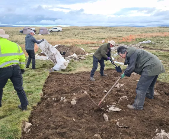
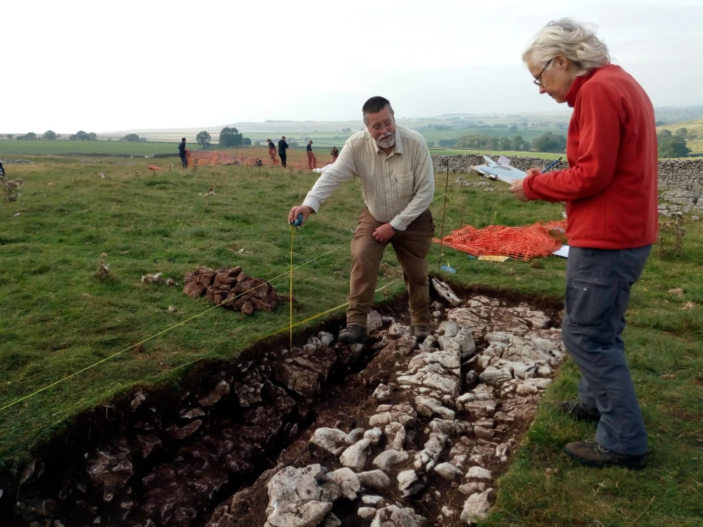
We were joined for today and tomorrow by five members of the Westmorland Dales apprenticeship team who we set to work de-turfing a new trench in the south-western corner of our enclosure. They made impressive progress over the course of the day and following a good clean up they have exposed what appears to be a substantial stone bank. In the afternoon Katie expertly demonstrated the use of the remotely operated pole mounted camera to record the plan of the trench and tomorrow the team will excavate a section through the bank with the hope of identifying some dating material beneath.
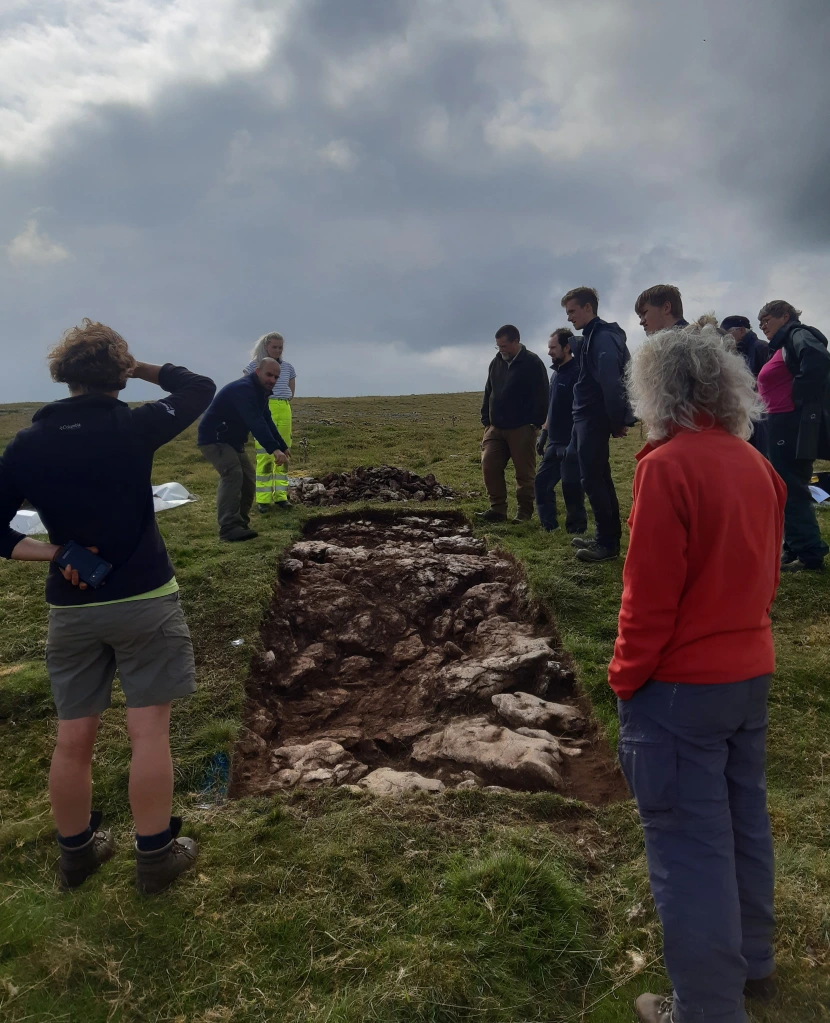
Over in trench 3 the possible lynchet exposed yesterday looks more and more plausible, the remaining bank which looks so convincing from the surface actually being in effect a raised linear area of limestone pavement protected from the plough by its position on the edge of the field and perhaps by a now lost bank or other boundary feature. Following a hearty lunch, we gathered the group together to discuss the results prior to its backfilling.
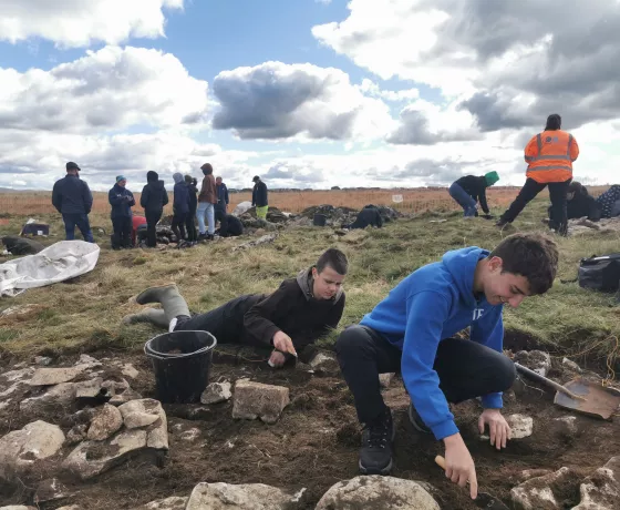
With the backfilling complete the trench 3 team have now begun de-turfing a new trench to the south within a smaller but just as promising enclosure as the first which appears to be associated with one of the coaxial banks identified during the field survey.
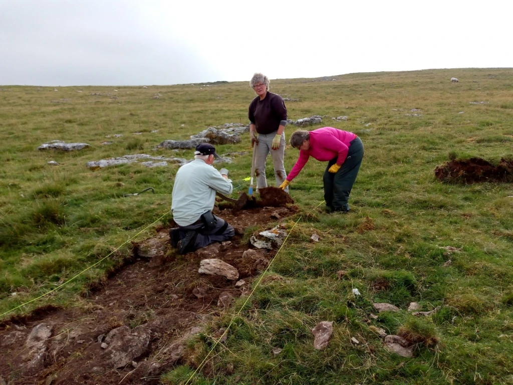
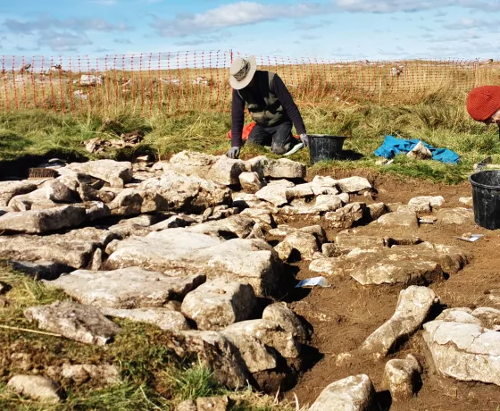
Meanwhile over in trench 1 Ian and Sue had been busy finishing the excavation of the enclosure bank and begun the task of recording with some fine section drawing. Although not as substantial as its initial appearance the excavation confirmed the banks construction from a mixture of soil and small to medium sized stones, apparently over the limestone pavement. The steeper internal side of the bank appears to have been exaggerated by the erosion of the interior soils, giving the impression of a larger bank than currently survives in this location.
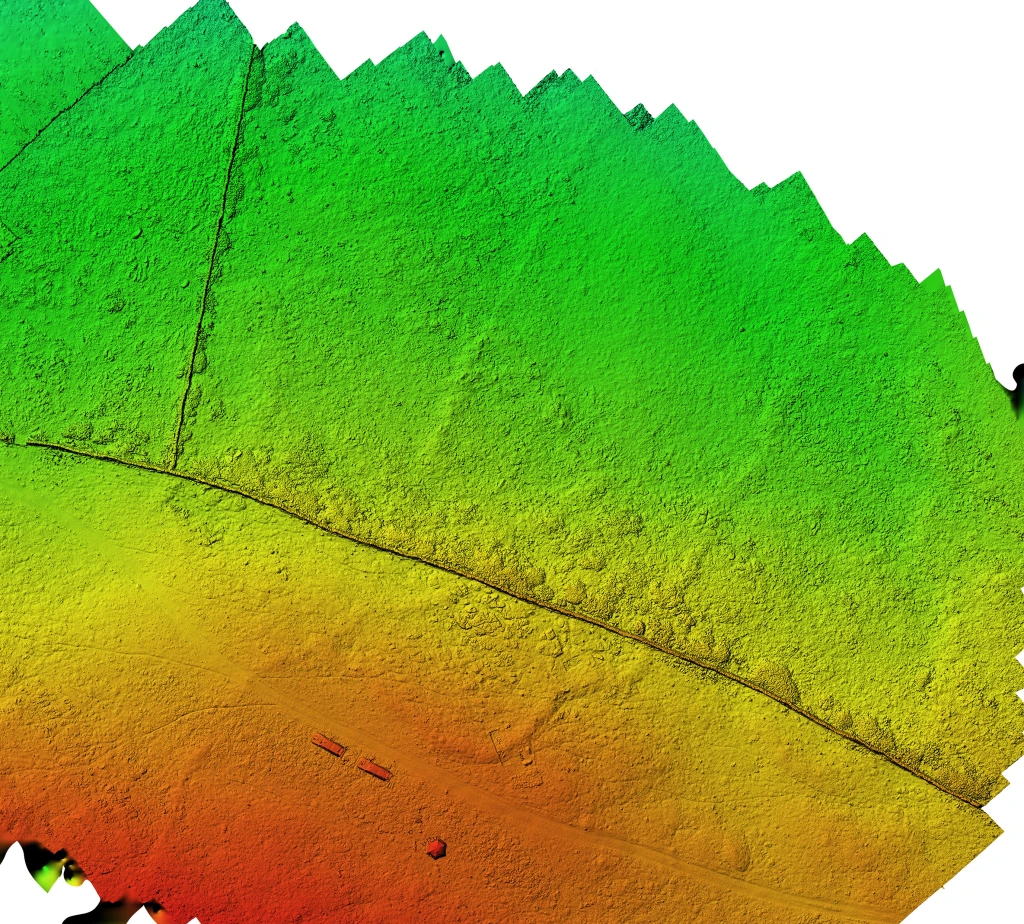
Results of the first days Photogrammetry: on Day one we flew the enclosure with a drone in order to get an idea of its characteristics. We now have the results back and it looks very interesting. It is now apparent that the reason for its unusual shape is that the enclosure is butted out from a curved wall that extended out from our primary coaxial wall. Firstly this means that this is genuinely a part of the primary field system and not a later addition, as had previously been suspected. Secondly we can see that there are two parallel walls extending north-east out from the enclosure, which had previously not been seen. The survey is showing that the site is far more complex with more phases of construction, than had previously been thought. This would indicate that it may have been in use for an extended period. Hopefully further drone surveys will continue to highlight new aspects of the site.
Other posts in this collection
Read our latest posts about the Little Asby community excavation.