What’s happened so far?
The site of the current Wellcome Genome Campus to the west of the A1301 has been the subject of nearly 30 years of archaeological investigation (by Cambridgeshire County Council's Archaeological Field Unit, now Oxford Archaeology's Cambridge office) and was clearly a significant and extensively utilised landscape by people for many thousands of years.
2018 – OA undertook a Desk-Based Assessment (DBA) of existing records and observations to determine the potential for surviving archaeological remains at the site proposed for development and provide proposals for further investigation. The DBA involved consulting historic environment records, historic maps, aerial photographs, and LiDAR data. This established the need for further archaeological work in advance of determining an application for planning permission.
Later in 2018, Magnitude Surveys conducted a geophysical survey to locate potential areas of buried archaeological remains across the proposed development site. OA then dug 159 trial trenches (measuring 50m x 2m) to ground truth the results of this survey and investigate any blank spots.
Although the trial trenches did not find any definite evidence of human settlement, they did locate several areas of archaeological interest related to known trackways and boundaries in the landscape. Two main routes were identified: a continuation of the prehistoric Icknield Way aligned east-west, and a previously unknown north-south routeway. These are separate routes from the adjacent Roman road that is now the modern A11 and linked Great Chesterford with Worsted Street Roman road to the north. Some late Iron Age/Roman pits and diches were found at the south end of the proposed development area, while a light scatter of earlier Neolithic and Bronze Age flint was found in the field in the fields to the north.
The results of the trial trenching suggest this site was an agricultural hinterland during the late prehistoric and Roman periods, probably closely associated with previously identified settlement to the west on the banks of the River Cam.
The report can be read and downloaded in full on OA’s online library here: https://library.oxfordarchaeology.com/search/hinxton/4675
Autumn 2022 – More trial trenches were dug by OA to evaluate the archaeological potential of a set of fields to the north of those investigated in 2018 in advance of a proposed extension to the development site.
At the same time, OA returned to one of the northernmost fields evaluated in 2018 to recover and record artefacts brought to the surface after it has been ploughed. This archaeological technique is known as fieldwalking.
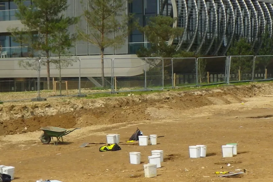
Winter 2022 – Cambridgeshire County Council’s Historic Environment Team requested excavation of four areas with archaeological remains identified in 2018, targeting the two routeways. These excavations involved the removal of topsoil and sub-soil with mechanical diggers under direction of archaeologists. This revealed the underlying archaeological features which were dug by hand to recover any finds that might give clues about when and why people used these areas in the past.
What's happening now?
2023 onwards – The archaeological excavations are expected to continue until April 2023. Afterwards, all of the artefacts recovered will be washed, weighed and catalogued, before being sent for specialist analysis. A report on the findings will be written by OA, and checked by Cambridgeshire County Council, before being submitted to the county’s Historic Environment Record. The records and finds will be deposited with Cambridgeshire County Council, to be accessible to researchers and the public.