What is probably the most extensive, systematic archaeological ground survey ever undertaken in not only the Middle East but beyond has just been completed by Oxford Archaeology for the Royal Commission for AlUla (RCU) in Saudi Arabia. The c. 3300 square km ‘core’ area (larger than the size of Lancashire) of AlUla County is centred around the oasis of the AlUla Valley, which comprises desert floor, outcrops, uplands and lateral valleys (but excludes the oasis itself). The AlUla Valley lies on a major north/south communication route through the Arabian Peninsula, which attracted travellers as well as sustained settled populations through millennia due to its natural availability of water – springs and high water table – in an otherwise arid environment.
The extensive landscape survey recorded over 16,000 archaeological sites, some of which date back to the Palaeolithic period, as much as 200,000 years ago, and culminate with the Hijaz railway, which was built in the early 20th century and figured in the activities of Lawrence of Arabia. The survey was undertaken in conjunction with Saudi staff and students of King Saud University, and incorporated training a local team in recording and site identification techniques.
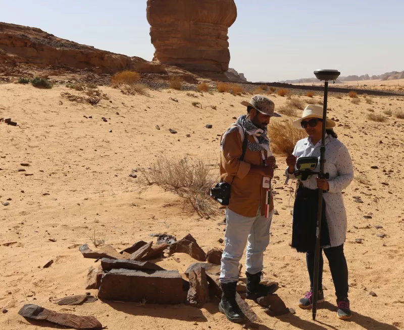
Starting in Spring 2018, the survey utilised high-resolution aerial photography to identify possible archaeological sites, each of which was visited on the ground by archaeological teams to confirm it was pre-modern and to map, describe and photograph it. In addition, specialist survey teams searched for, and recorded, rock art and inscriptions, which are not detected by remote sensing, and that provide a remarkable record of past cultures in the region.
More detailed recording was undertaken of selected sites by photogrammetry using a drone, to provide accurate and detailed 3D models of the archaeological monuments and landscapes. This was followed by a programme of targeted excavation of key monument types, intended to establish their dates and functions. These include:
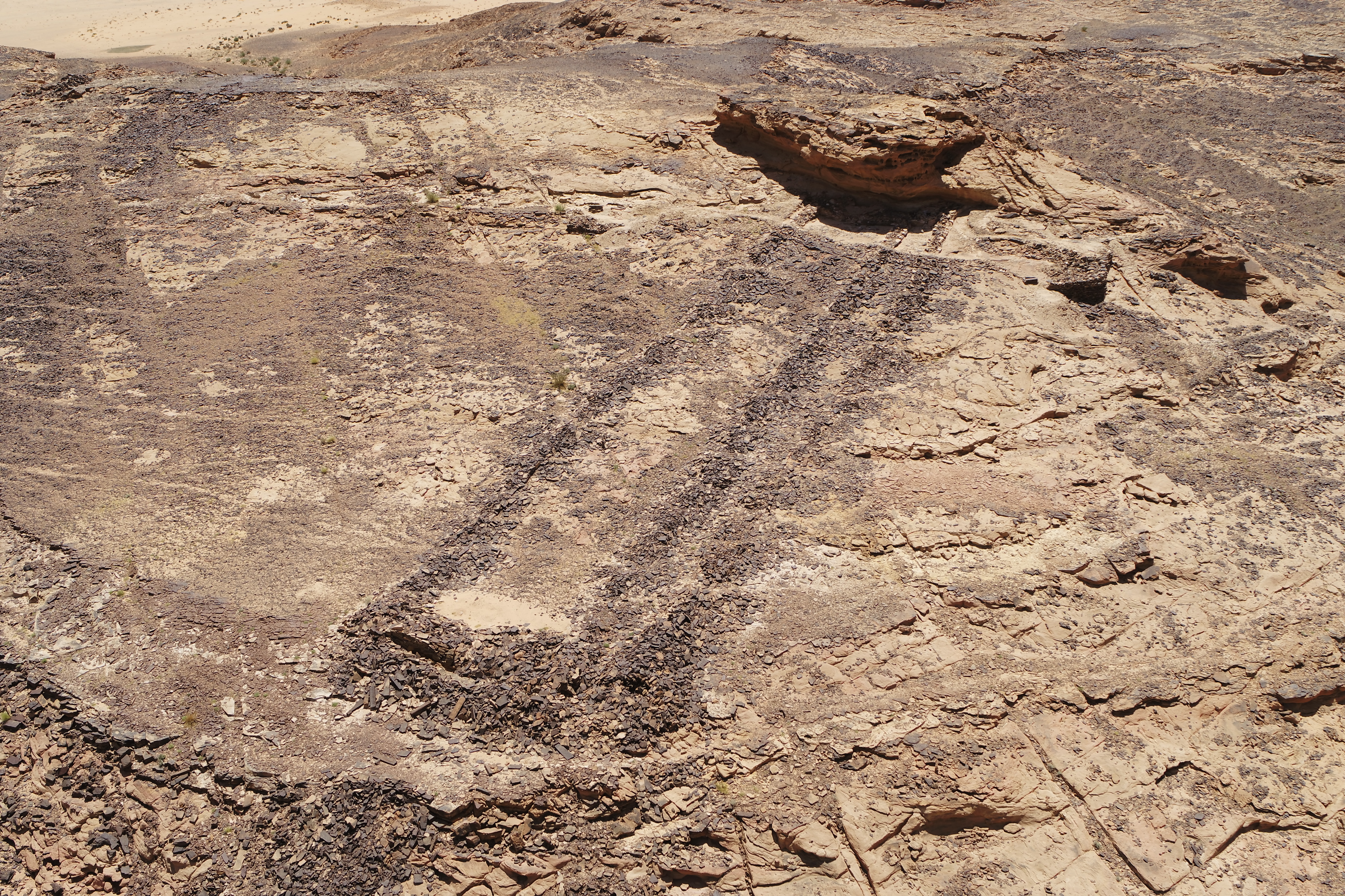
- extraordinary mustatils (Arabic for rectangle) which were discovered to probably be ritual monuments and dating back more than 7000 years, to the Neolithic period.
- substantial burial monuments from the Bronze Age (approximately 5000 years ago).
The survey also documented settlements, temples and burials that relate to the incense trade from the Iron Age and Nabataean periods (about 3000-2000 years ago); and towns, forts, farming lands and irrigation systems of the more recent Islamic period.
Dr Rebecca Foote, Director of Archaeology and Cultural Heritage Research for RCU, said: “We are very impressed with the enormity of such an extensive landscape ground survey carried out by Oxford Archaeology and with the wealth of remains that have been revealed. This provides an excellent foundation for understanding this historic and prehistoric landscape and ensuring its future protection.”
The Oxford Archaeology ground survey in the ‘core area’ of AlUla County was complemented by aerial (helicopter) survey in the c. 19,000 sq km hinterland, conducted by a team from the University of Western Australia, which also carried out ground survey and targeted excavation at selected sites. A recent documentary made by the Discovery Channel – Architects of Ancient Arabia - presents the results of the survey and excavations, highlighting burials excavated by the University of Western Australia and the mustatils explored by Oxford Archaeology (Plate 3). These distinctive Neolithic monuments are associated with early domesticated (and wild) animals and are of considerable archaeological importance in the region, demonstrating the potential for further research.
If you would like to learn more about this amazing project you can see the documentary ‘Architects of Ancient Arabia’ on YouTube by clicking here